


I have entered the Saunders Lakeland Mountain Marathon (SLMM), the Harter class, which is the easiest running class. This particular class is run as a team of two, my partner being Elaine Tatham, and the idea is that we set off with a map of the Lake District, and a set of co-ordinates, of which we need to locate, and dib in to. We have to be self sufficient for two days, carrying tent, food, sleeping equipment etc. So, although I have basic map reading and compass skills, I realise that some serious navigation would be required in the Lakeland fells, more than I had, to ensure a safe trip.
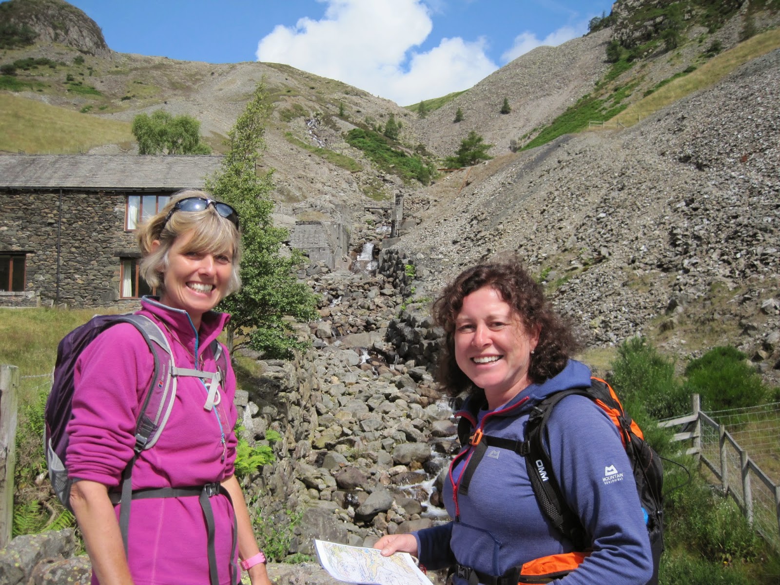
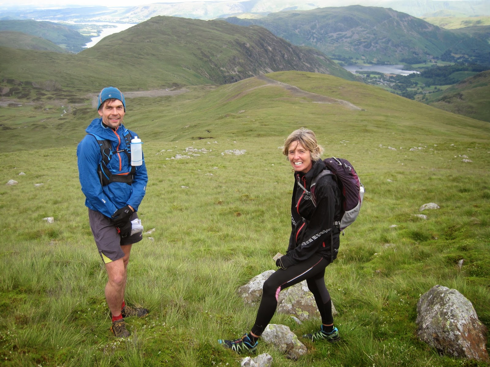
We arrived at Charlie (our instructor)’s cottage, which was in the fantastic setting just below Helvellyn Youth Hostel in Glenridding. Normally, there may be up to 4 people on each course, but this day was just Cheryl and I, which was great for us, as the course was pretty much tailor made to suit our requirements. The first hour or so, we sat over coffee, going through the theory of map and compass work, different types of maps, and scales, weather forecasts, kit requirements, map orientation, and what we would be covering once out in the hills.
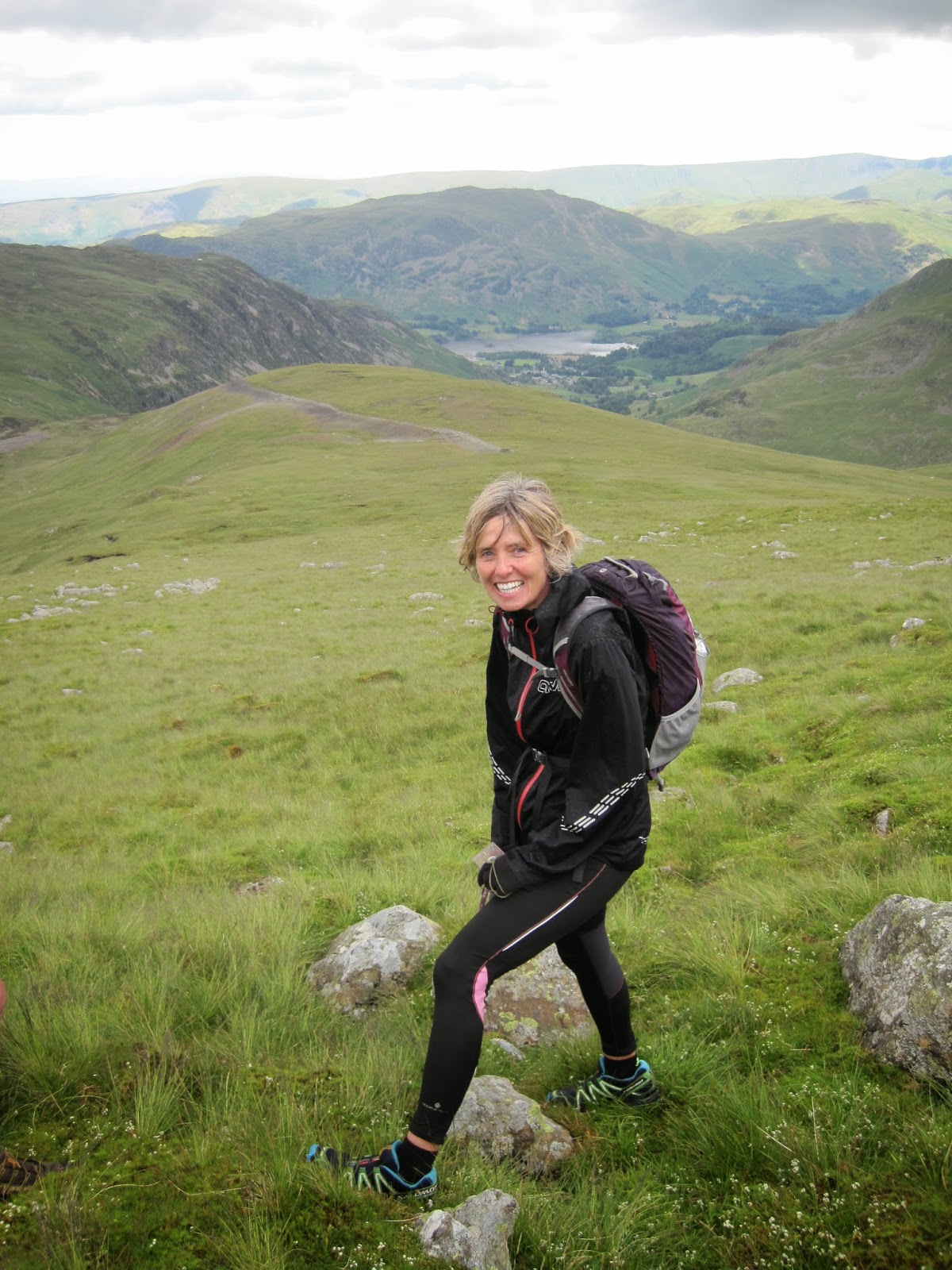
We set off, only walking, as we were to stop frequently to discuss location, how to hold our map and compass, how to check the land around us and compare it to the map.
We had to find our way to 7 different checkpoints, all of which gave experience of locating different markings on the map, such as a ruined building, a spur, hut, tarn, sheepfold, re-entrant and crag foot. Some of which I had no idea what they were beforehand.
Maps & map reading, setting a bearing.
Safe Navigation, which included handrails, catchment features, aiming off and bouncing.
Tactics to use during the race, such as route choice, boundaries, features and lay of the land.
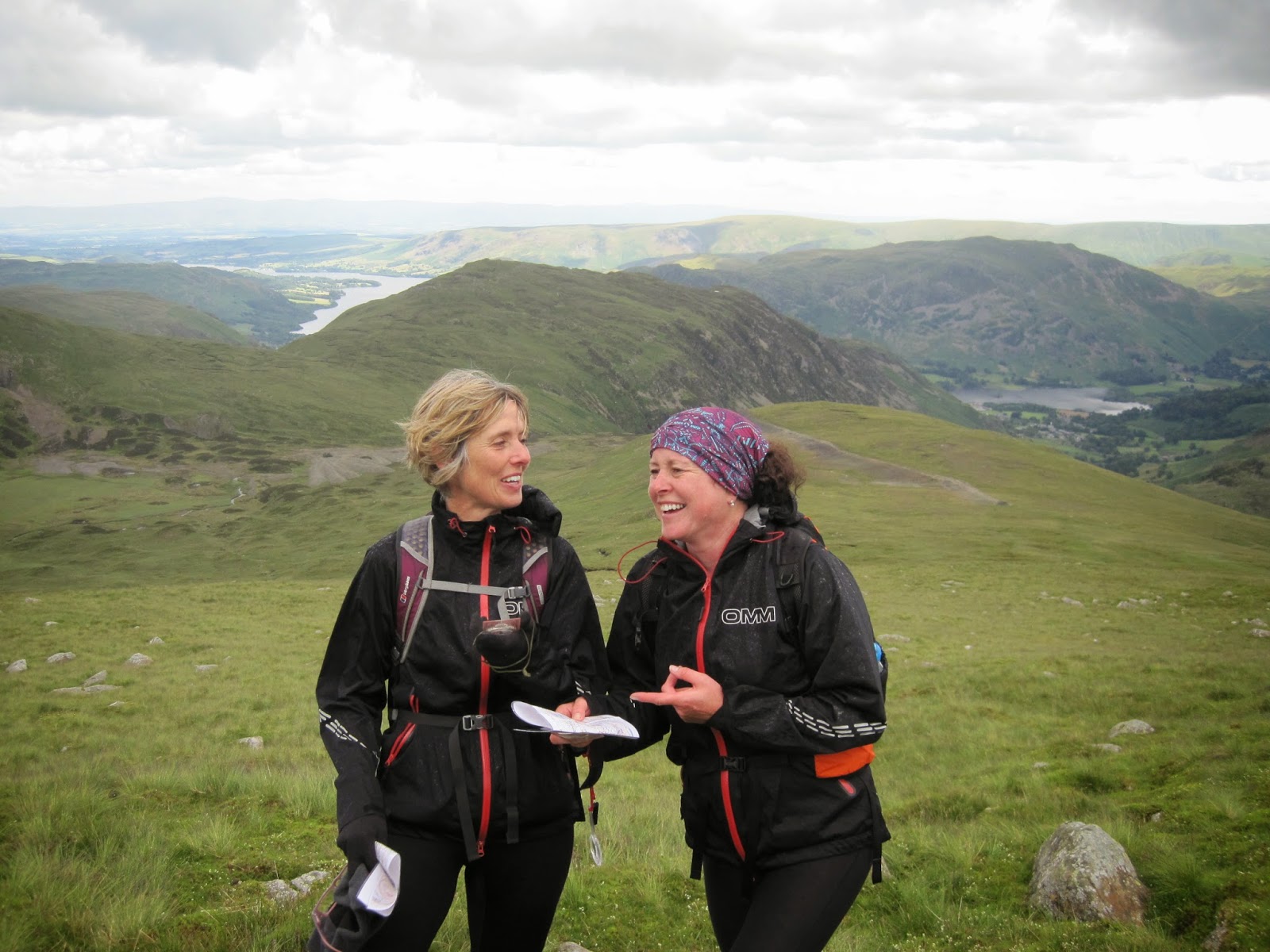
The day was thoroughly enjoyable, informative and relevant, with over 4 hours spent out in the hills (resulting in a few falls by Cheryl!). Our guide, Charlie was very professional, good fun, and keen to ensure that we were happy with what we were being taught. I would definitely recommend this to anyone thinking of going out in the hills who wishes to put safety as a priority.
Jill and Cheryl